Welcome to PypeTree’s documentation!
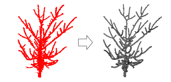
PypeTree is a Python and VTK-based tool with an innovative UI for the reconstruction and modeling of botanical trees from point cloud data (e.g. acquired from T-LiDAR devices). From a set of scattered 3d points, it can produce a set of truncated cones fitted in the most likely way. At any moment during the process, the user can intervene by manipulating the model primitives to perform some adjustments (to create, delete, resize or move a branch, for instance).
The development of PypeTree was funded by a FQRNT and NSERC grant obtained by Sylvain Delagrange. It was created by Christian Jauvin, Sylvain Delagrange and Pascal Rochon.
An article describing PypeTree and its development process has been published in the Sensors journal.
Features
- Connectivity/geodesic-based reconstruction algorithm (based on Verroust & Lazarus)
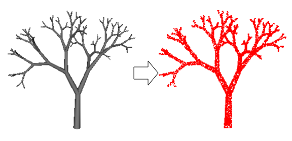
- Creation and sampling of artificial models based on L-system rules
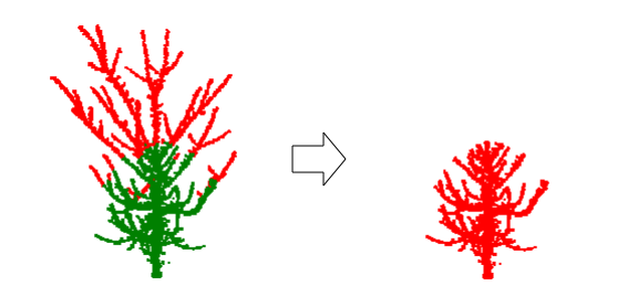
- Point cloud manipulation tools (here is an example of geodesic clipping of a point cloud, where the branches of its underlying tree model are cut above a threshold distance in the geodesic space)